
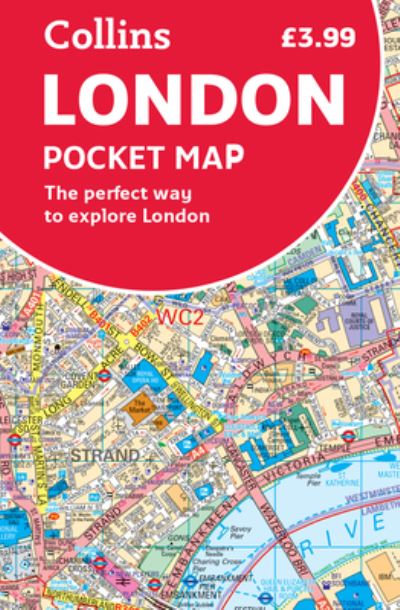
Handy little full colour map of central London with a high level of detail.Clear mapping from Regent's Park in the north to Kennington in the south, and Kensington Gardens in the west to Tower Bridge in the east at a scale of 1:12,500 (5 inches to 1 mile). Maps of West End shopping and theatres are also included.Mapping is presented in a handy format ideal for the pocket or handbag. It is excellent value and covers the most visited area of central London. It is an essential buy for tourists and residents alike.INCLUDESDetailed central area mapMap of theatres and cinemasShopping mapUnderground mapThe latest congestion zone boundary.
| ISBN: | 9780008370015 |
| Publication date: | 6th February 2020 |
| Author: | Collins Maps |
| Publisher: | Collins an imprint of HarperCollins Publishers |
| Format: | |
| Pagination: | 2 pages |
| Genres: |
Travel guides: museums, historic sites, galleries etc Street maps and city plans Children’s / Teenage general interest: Information resources Children’s / Teenage general interest: City and town life Children’s / Teenage general interest: Transport and vehicles Educational: Geography Children’s / Teenage reference: Atlases and maps |